Search
Leave a Message
By providing your contact information to Hitchcock & Associates, your personal information will be processed in accordance with Hitchcock & Associates's Privacy Policy. By checking the box(es) below, you consent to receive communications regarding your real estate inquiries and related marketing and promotional updates in the manner selected by you. For SMS text messages, message frequency varies. Message and data rates may apply. You may opt out of receiving further communications from Hitchcock & Associates at any time. To opt out of receiving SMS text messages, reply STOP to unsubscribe.
Thank you for your message. We will be in touch with you shortly.
Explore Our Properties
WELCOME TO

Explore Casitas Springs, CA Real Estate & Homes for Sale

A small, secluded community at the base of the Topatopa Mountains, Casitas Springs offers rural charm and easy access to Casitas Lake and the Ojai Valley.

Property Listings

Search Homes

Nestled along Highway 33 between Ventura and Ojai, Casitas Springs is one of the smallest and most tucked-away communities in the valley. Bordered by Foster Park and the Ventura River, the area has a distinctly rural character — larger parcels, mature oak trees, and a slower pace than its better-known neighbors.

The community sits just minutes from Casitas Lake, a favorite spot for boating, fishing, and hiking, and offers quick access to both downtown Ojai and Ventura's coastline. Homes here tend to be single-family properties on generous lots, appealing to buyers looking for privacy, acreage, or a quieter alternative without giving up proximity to the 101 and 33 corridors.

For buyers drawn to the Ojai Valley lifestyle but priced out of Ojai proper, Casitas Springs offers a compelling middle ground — space, nature, and a real sense of seclusion, all within a short drive of everyday conveniences.

SHARE

Overview for Casitas Springs, CA

510 people live in Casitas Springs, where the median age is 52 and the average individual income is $25,761. Data provided by the U.S. Census Bureau.

510

Total Population

52 years

Median Age

High

Population Density Population Density
This is the number of people per square mile in a neighborhood.

$25,761

Average individual Income

Around Casitas Springs, CA

There's plenty to do around Casitas Springs, including shopping, dining, nightlife, parks, and more. Data provided by Walk Score and Yelp.

9
Car-Dependent
Walking Score
41
Somewhat Bikeable
Bike Score

Points of Interest

Explore popular things to do in the area, including Casitas Mkt, and Casitas Springs Community Center.

Name Category Distance Reviews
Ratings by Yelp
Dining 0.1 miles 6 reviews 4.2/5 stars
Active 0.23 miles 3 reviews 3.3/5 stars

Demographics and Employment Data for Casitas Springs, CA

Population Households Employment

Casitas Springs has 226 households, with an average household size of 2. Data provided by the U.S. Census Bureau. Here’s what the people living in Casitas Springs do for work — and how long it takes them to get there. Data provided by the U.S. Census Bureau.

510

Total Population

High

Population Density Population Density This is the number of people per square mile in a neighborhood.

52 years

Median Age

56 / 44%

Men vs Women

Population by Age Group

0-9:

0-9 Years

10-17:

10-17 Years

18-24:

18-24 Years

25-64:

25-64 Years

65-74:

65-74 Years

75+:

75+ Years

Education Level

  • Less Than 9th Grade
  • High School Degree
  • Associate Degree
  • Bachelor Degree
  • Graduate Degree
226

Total Households

2

Average Household Size

$25,761

Average individual Income

Households with Children

With Children:

Without Children:

Marital Status

Married
Single
Divorced
Separated

Blue vs White Collar Workers

Blue Collar:

White Collar:

Commute Time

0 to 14 Minutes
15 to 29 Minutes
30 to 59 Minutes
60+ Minutes
Casitas Springs
Navigate

Areas of Expertise

Explore Other Neighborhoods

Browse our lifestyle guides to learn about the best neighborhoods for you.

  • Camarillo
  • Carpinteria
  • Casitas Springs
  • Goleta
  • Montecito
  • Oak View
  • Ojai
  • Oxnard
  • Santa Barbara
  • Santa Barbara County
  • Santa Paula
  • Thousand Oaks
  • Ventura
  • Ventura County
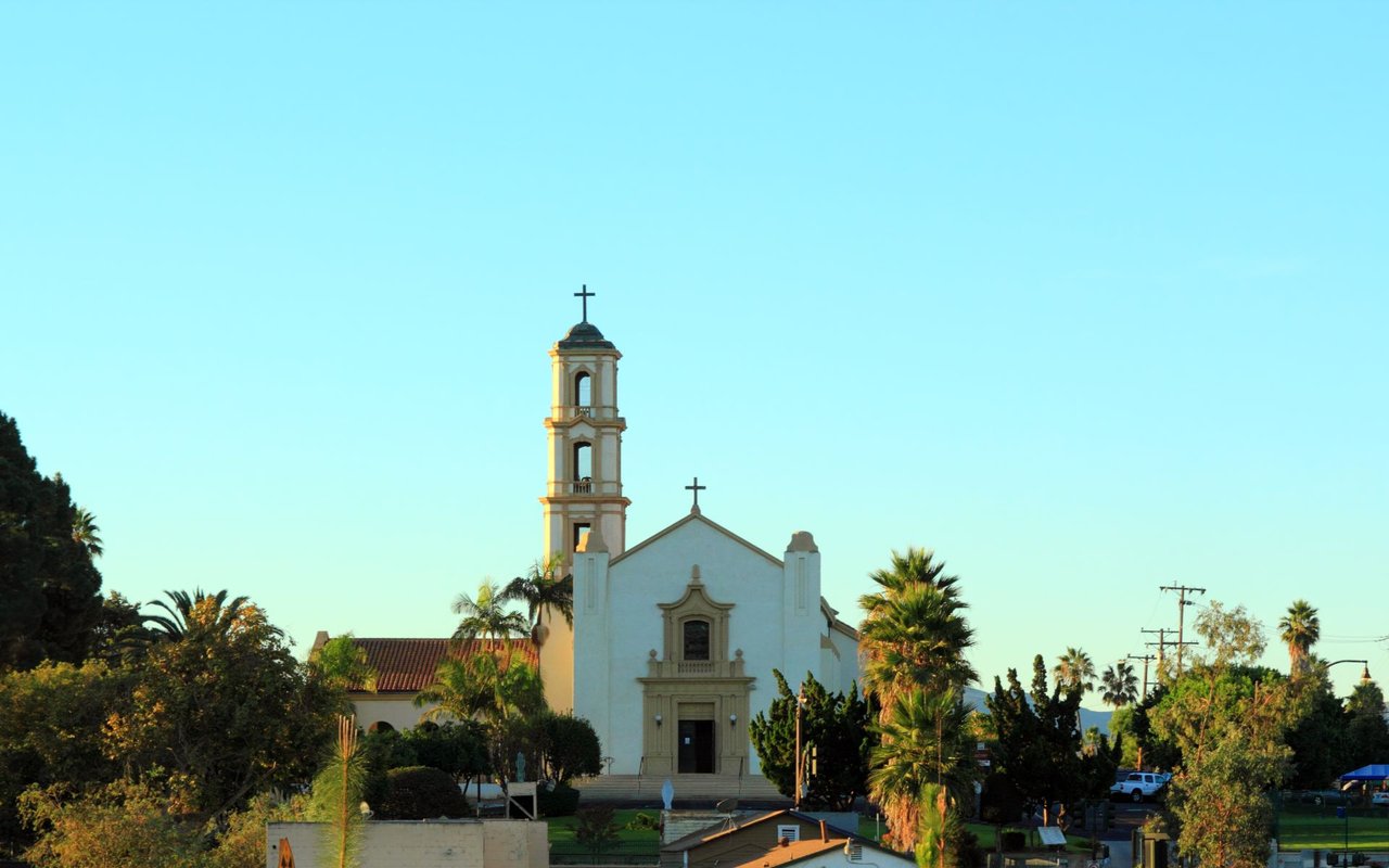
  • White church with a tall bell tower among palm trees beneath a clear blue sky.

    Explore Camarillo

    34.2164° N, 119.0376° W

    Read More
  • Carpinteria coastline with a sandy beach, ocean waves, coastal homes, and mountains in the distance.

    Explore Carpinteria

    34.3989° N, 119.5185° W

    Read More
  • Explore Casitas Springs

    A small, secluded community at the base of the Topatopa Mountains, Casitas Springs offers rural charm and easy access to Casitas Lake and the Ojai Valley.

    Read More
  • Ocean waves reach a sandy beach beneath a golden sunset sky.

    Explore Goleta

    34.4358° N, 119.8276° W

    Read More
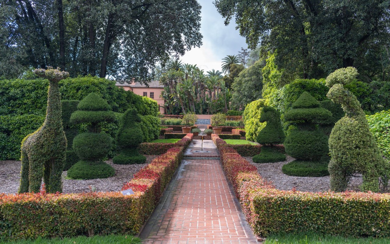
  • Formal estate garden with sculpted topiary lining a brick path toward a pink house.

    Explore Montecito

    34.4367° N, 119.6321° W

    Read More
  • Explore Oak View

    A hidden gem in the Ojai Valley, Oak View blends small-town charm with easy access to Casitas Lake, Los Padres National Forest, and downtown Ojai.

    Read More
  • Lakeside marina with rows of boats, a waterfront walkway, and green hills under a cloud-filled sky.

    Explore Ojai

    34.4480° N, 119.2429° W

    Read More
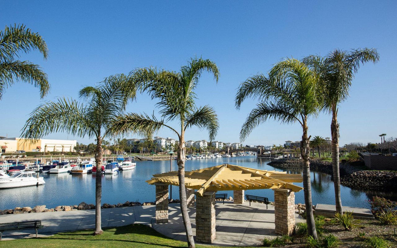
  • Marina promenade with moored boats, palm trees, and a stone-pillared pergola.

    Explore Oxnard

    34.1977° N, 119.1775° W

    Read More
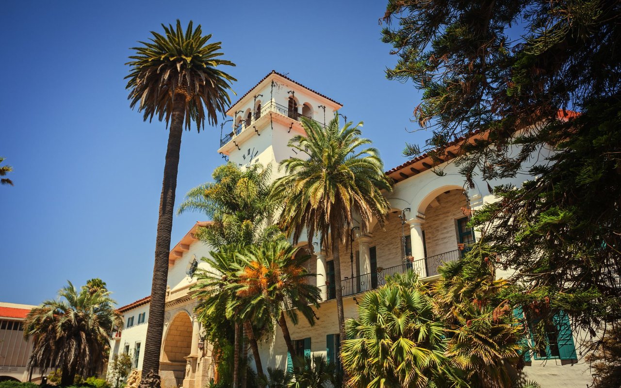
  • Santa Barbara County Courthouse with its clock tower, arched entrance, and surrounding palm trees.

    Explore Santa Barbara

    34.4203° N, 119.6989° W

    Read More
  • Santa Barbara waterfront with Stearns Wharf, beach, and palm-lined streets.

    Explore Santa Barbara County

    34.4208° N, 119.6984° W

    Read More
  • Santa Paula train station, a red wooden depot beside the tracks.

    Explore Santa Paula

    34.3542° N, 119.0593° W

    Read More
  • Spanish Revival-style complex with ornate domed towers and red tile roofs, backed by hills.

    Explore Thousand Oaks

    34.1761° N, 118.8488° W

    Read More
  • Explore Ventura

    Read More
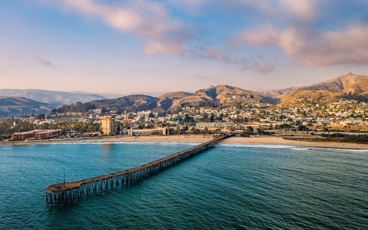
  • Aerial view of a coastal city and long pier beneath pink evening clouds.

    Explore Ventura County

    34.3705° N, 119.1391° W

    Read More

Follow Us On Instagram